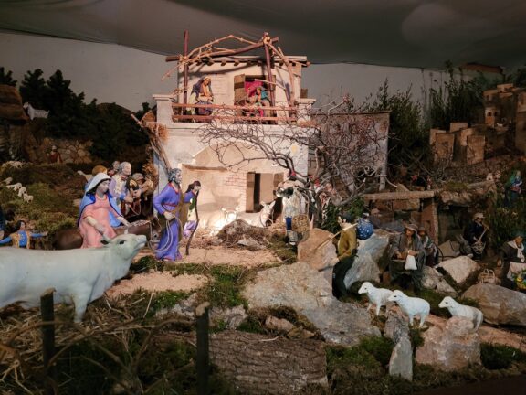
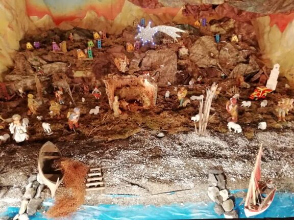
Barescione e I Prati di Groa
The route we are going to tell you about is the first one to take in the municipality of Balestrino, for a really simple and uniquely beautiful loop. We start out from the provincial road that goes from Toirano to Balestrino and obviously begin to follow the asphalt road. From here we begin to identify the first yellow/red TA markers of the Terre Alte. We are now in Barescione, a hamlet that stretches vertically along a long and narrow alley among typical Ligurian houses. We soon come across the small but beautiful Oratory of San Rocco, built at the beginning of the 17th century. In front of the chapel you can see the sundial, frescoed in the first half of the 19th century. We pass the little square of the same name and not far away, still along the street, under a portico, is the public fountain with its perennial spring water jet.
From here the village ends and following the TA sign in via Rio della Fine, a kind lady we met a little later confirms the correctness of the route. At this point we abandon the cobblestones to take the dirt road that winds through hoed vegetable gardens and olive groves already bare of olives. The TA sign never leaves us, easily identifiable and reassuring. We ford the brook called “Del Ponte” and climb up the lower slopes of Monte Acuto and Poggio Grande, where a wonderful alder wood is the master.
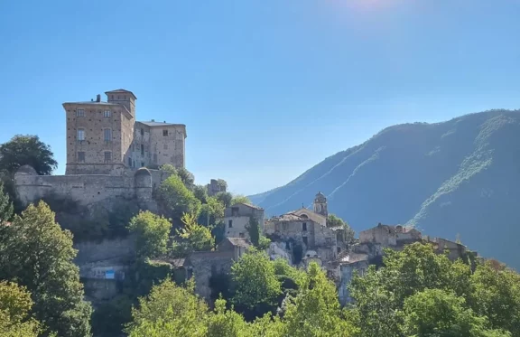
Given the low difficulty of the route, we continue boldly until we reach a natural rocky terrace from where we can enjoy a magnificent view of the Castle of Balestrino above and, further down, of the Tane della Bösa, a magnificent natural ravine carved into the reddish rock on the other side of the valley. The next fork in the road indicates the Sanctuary of Balestrino on the left, while the Borgo is on the right. We take the latter and now continue on a steep climb, tackling numerous hairpin bends that climb up between ancient strips of land and olive groves. On the way, we come across a wooden staircase that climbs into the woods and could mislead us. Gps in hand, we ignore the steps and follow the path to the right, which soon becomes an asphalt road. In about 15 minutes we reach the cemetery of Balestrino, from here we continue straight towards the picturesque dome of the parish church of Sant’Andrea, which stands out from the wood. We then reach Provincial Road 34, which will lead us downhill towards the Del Carretto castle where we will continue, once we have crossed the square in front of the historic building, to the corner of the Stalle del Marchese and an old wash-house.
We find ourselves in the locality of Canà at the edge of the Rio Carpe. The asphalt road becomes a steep mule track consisting of several stony hairpin bends. The wood gives way to bushes and bare rock, the result of the conformity of the land, which in the last century was despoiled of its precious calcium minerals processed at the famous “Ligge quarry”. The difficulty increases a little as we climb up a gravelly and slippery slope until we reach the Bocchino del Praë, right in the middle of the Val Varatella. From here we soon reach an important crossroads that makes it difficult for us, we choose to follow the indications of the Kero Trail that will take us in front of Monte Ravinet and Punta Alzabecchi passing through a steep grassy slope until we reach Prati di Gröa, a large meadow used for grazing with a superb view of the plain below.
We leave a renovated box on our left and begin to descend along a modest panoramic dirt road that is completely immersed in the bush. The end is in via Poggio di Toirano, just above where we left the car, which we recover in a very short time.
Fonte: Due zaini e un camallo.